Why Is It So Cold This Winter?

Most people assume an intense freeze means winter is simply getting colder everywhere on Earth. In reality, bitter cold snaps hit hardest when the jet stream weakens and loops south, dragging freezing Arctic air into neighborhoods that normally stay mild. The planet as a whole is not cooling down, but the fast river of high-altitude wind that usually keeps Arctic cold locked at the pole can wobble and slip southward.
How harsh the season feels right now depends on a few atmospheric shifts. Much of it comes down to whether that southward dip stalls directly over your region or slides away. Pacific ocean cycles like La Nina also push storms along specific tracks, while disruptions in the polar vortex (a swirling pool of freezing air above the Arctic) can unleash lingering waves of bitter air. Here is what is driving this freeze and how to keep your living space warm until it passes.
The Short Version
- Jet stream loops: A slowed, wavy jet stream has dipped far south, pulling Arctic air directly over towns that normally enjoy mild winters.
- A wobbling polar vortex: The pool of freezing air high above the Arctic has destabilized, spilling frigid air across North America.
- Ocean cycles: Pacific weather patterns like La Nina shift the storm track, creating a highway for repeated cold fronts.
- Simple defense: Sealing window drafts, letting faucets drip, and running space heaters safely protect your home until the weather pattern breaks.
How the Jet Stream Shifts Frigid Air South
The main reason winter temperatures suddenly collapse into bitter cold lies high above your roof. Thousands of feet in the air, a fast river of wind known as the jet stream circles the northern hemisphere. Under typical conditions, this wind travels rapidly from west to east. It functions like a tight fence, holding freezing Arctic air up north while keeping milder air over the southern half of the continent.
When the jet stream slows down, that fence loses its tension and begins to buckle. Think of a garden hose when you turn the water pressure down. With less pressure, the hose flops and bends across the grass. In the atmosphere, this slowing creates giant waves that curve north and south. Meteorologists call the southward bends troughs. When a deep trough forms, it acts like a chute, letting dense Arctic air pour down into areas that rarely see sustained subfreezing temperatures.
How hard your area gets hit depends on where the dip settles. If the bend parks directly over your region, freezing air settles near the ground like heavy syrup. Because these looping winds move slowly, the cold snap can stall over your town for days or weeks, dropping overnight temperatures and straining home heating systems.
The Polar Vortex in Plain Terms
When an extreme cold snap makes headlines, you often hear talk about the polar vortex. Many people picture a giant winter hurricane spinning through city streets, but the reality is simpler. The polar vortex is a swirling pool of freezing air high above the Arctic that stays parked near the North Pole throughout the year. It sits in the stratosphere, miles above the storms we experience on the ground.
To picture how it works, imagine a toy top spinning rapidly on a table. As long as the top spins fast and upright, it stays in one neat circle. In the atmosphere, a fast, tightly spinning polar vortex keeps the coldest air locked over the pole, allowing the rest of the continent to experience typical, manageable winter weather.
Problems happen when atmospheric waves from the lower atmosphere disrupt that spinning top. If warmer air surges upward, it knocks the vortex off balance. The spinning slows down, begins to wobble, or can split into two or three separate lobes. When the vortex destabilizes, it acts like an open walk-in freezer door. The frigid air that normally stays locked at the top of the globe spills over the edges and drifts southward.
Once those frigid air pools slide across North America, they force surface temperatures twenty to thirty degrees below average. This is why a freeze can feel so unusually sharp. You are not just dealing with chilly breezes; you are standing in air that was sitting over the Arctic ice caps only days earlier.
How Ocean Patterns Steer Winter Freezes
While the atmosphere delivers the cold air, ocean cycles often decide where that cold air travels and how long it stays. Conditions thousands of miles away in the Pacific Ocean play a huge role in shaping winter across North America. The most influential of these cycles is La Nina, which occurs when equatorial Pacific waters become unusually cool.
Changes in ocean surface temperature change how much heat and moisture rise into the sky. During a La Nina cycle, the cooler ocean water shifts the Pacific storm track northward. As the jet stream crosses into the Pacific Northwest and Canada, it curves sharply down into the central and eastern United States. This path creates an open highway for repeated blasts of Arctic air.
Instead of one cold day followed by several mild afternoons, your region gets trapped in a weather conveyor belt. One storm pushes through, pulls down freezing air, and another front arrives right behind it. If a high-pressure system stalls over Greenland or Alaska, it blocks the normal west-to-east flow, turning a brief cold snap into a multi-week freeze.
Why Sharp Cold Snaps Still Happen on a Warmer Planet
Stepping into biting air naturally makes people wonder how severe cold can happen when global temperatures are rising. The answer comes down to the difference between daily weather and long-term climate. Weather is what is happening outside your window right now, while climate is the broad pattern of an entire region over decades.
The Arctic is warming about twice as fast as the rest of the planet. Because northern sea ice is melting and open water absorbs more solar heat, the temperature gap between the frozen Arctic and the warm equator is shrinking. In decades past, that sharp temperature difference was the powerful engine that kept the jet stream tight, fast, and straight from west to east.
With a smaller temperature difference, that atmospheric engine loses power. The winds slow down, become wavy, and meander more frequently across the continent. Instead of keeping the cold neatly bottled up in the far north, the weakened winds allow pockets of brutal cold to escape southward. So, while overall average temperatures continue to climb, winter weather can become more erratic, bringing sharp, prolonged freezes.
Immediate Home Checks to Block Drafts and Protect Your Space
When an intense cold wave arrives, you need practical, immediate actions to protect your home and plumbing. Knowing how to keep warm in winter in the house starts with finding where heat escapes and blocking cold air before it chills your living spaces.
First, inspect your doors and windows for hidden air leaks. Walk around your home and hold your bare hand against window frames, baseboards, and exterior doors. If you feel moving air, seal window gaps quickly with stick-on foam weatherstripping. For exterior doors, place an under-door draft stopper or a rolled-up bath towel against the bottom gap. If your window glass feels freezing to the touch, cover the frame with clear plastic window film from a shrink-wrap window insulation kit to build a pocket of dead air that slows heat loss.
Second, protect your household pipes from freezing. Water expands as it freezes, which can split copper or plastic pipes and cause severe leaks. Open the cabinet doors under your kitchen and bathroom sinks so warm room air reaches the water lines along exterior walls. During severe overnight freezes, turn on the faucet farthest from your main water shutoff valve and let it drip at a steady trickle. Moving water resists freezing, and the open valve relieves internal water pressure if ice forms elsewhere in the line.
Third, use supplemental space heaters with caution. Space heaters take the edge off a chilly room, but they cause many winter fires when handled incorrectly. Always give your space heater at least a 3-foot clearance from curtains, bedding, sofas, and clothing. Plug the heater directly into a wall outlet rather than an extension cord or power strip, which can overheat rapidly. Turn portable heaters off before leaving the room or falling asleep.
Fourth, dress effectively inside and outside. Wear a sweat-wicking base layer or thermal long underwear beneath your daily clothes, followed by a fleece or wool middle layer to trap body heat. Cotton traps sweat and stays cold, so wear moisture-wicking wool-blend socks on your feet instead. If you must shovel snow or commute, knowing how to keep warm in winter outdoors will protect your fingers, face, and toes from wind chill and frostbite.
Finally, know when to call a professional. If you turn on a faucet and get only a single drop of water, leave the tap open and gently warm the exposed pipe with a hair dryer, never an open flame. If a pipe bursts, immediately shut off the main water valve and call a licensed plumber. If your furnace cuts out or blows cold air, contact a qualified heating technician rather than attempting repairs yourself.
FAQs
Why does this winter feel colder than recent years?
Winter weather patterns fluctuate from year to year based on ocean and atmospheric cycles. If recent years brought an El Nino pattern, your area likely saw milder air. A switch to a wavy jet stream or La Nina pushes Arctic air farther south and keeps it there longer, making the current season feel harsher.
How long do these deep freeze patterns usually last?
Most intense cold snaps last anywhere from three to ten days. The exact duration depends on how quickly atmospheric high-pressure systems move along and allow the jet stream to straighten out. If a high-pressure block forms over northern regions, the freezing Arctic air can remain trapped over your area for two weeks or more.
What is wind chill and why does it make the cold feel worse?
Wind chill describes how cold the air actually feels on bare skin when the wind blows. Your body naturally warms a microscopic layer of air right next to your skin. When strong winter wind strips that warm layer away, your skin loses heat much faster, turning a 25°F day into what feels like single digits and speeding up frostbite risks.
Should I leave my faucets dripping during a severe freeze?
Yes, letting an interior faucet drip at a steady trickle helps prevent pipes from freezing during extreme weather. Choose a faucet along an outside wall, ideally the one farthest from where water enters your house. Moving water resists freezing, and the open tap prevents dangerous pressure buildup if an ice plug forms.

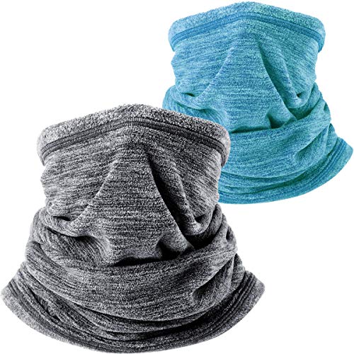
Best Warm Winter Scarves 2026 For Cozy Comfort

Best Green Ski Goggles 2026 For Clear Vision On Slopes
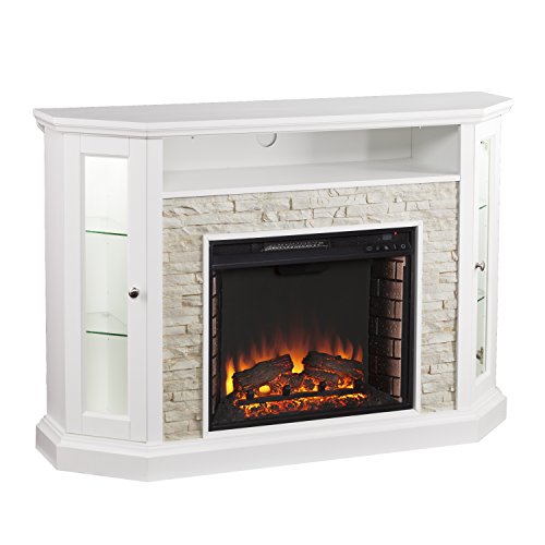
12 Best Corner Electric Fireplace 2026: My Ultimate Guide To Pick One

Best Battery Powered Snow Blower 2026 For Effortless Snow Clearing
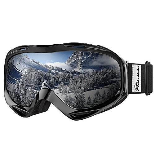
Best Ski Goggles Under 30 Inches For Crisp Vision And Comfort

Best Cooling Scarf 2026 For Instant Relief And Comfort

Fake Snow for Grass: Create a Realistic Winter Lawn Display
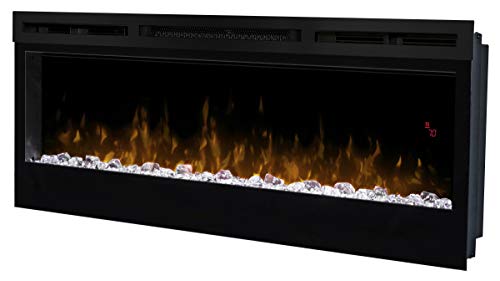
Dimplex Prism Wall Mount Fireplace: Sleek Heat With Modern Flame Style