How Long Will a Winter Storm Last?

Winter weather feels alarming when snow piles up, but most storms pass within a predictable window. In most areas, active snow or freezing rain lasts between 12 and 36 hours before the main system moves away. The bigger challenge comes right after the precipitation stops, as sub-freezing temperatures, slick roads, and utility outages often linger for two to four days.
Exact timelines depend on the storm system and the air left behind. A fast cold front might blow through in under twelve hours, while a slow coastal storm or lake-effect snow band can linger for two full days. When extreme cold follows, road salt stops working, which delays clearing crews and keeps travel treacherous. Recognizing how your local storm behaves makes it much easier to protect your home, manage your supplies, and know when it is truly safe to travel.
Typical Winter Storm Lengths by Storm Type
Winter storms do not follow a single schedule. How long you stay trapped indoors depends on the kind of weather system moving across your area. A fast cold front sweeps through in half a day, while a slow coastal storm can dump snow over your neighborhood for two full days.
An Alberta clipper (a fast-moving dry snowstorm that sweeps down from central Canada) moves quickly across northern and midwestern states. These storms travel at highway speeds, lasting only 6 to 12 hours over any single town. They drop light, powdery snow that totals 2 to 6 inches. While an Alberta clipper brings bitter temperatures and gusty winds, the snow clears out fast enough for road crews to plow main routes quickly.
A nor'easter (a large, slow coastal snowstorm that moves up the Atlantic coast) behaves very differently. These systems pull heavy moisture from the ocean and clash with cold Arctic air. They often crawl along the coastline or stall. A nor'easter can dump heavy, wet snow and drive gale-force winds for 24 to 48 hours. Deep drifts and downed trees frequently shut down neighborhood travel for days.
Lake-effect snow (heavy snow bands coming off open water) follows its own schedule. When Arctic air passes over warmer, unfrozen lakes, narrow clouds generate extreme snowfall. A single town can receive 2 to 3 inches of snow per hour for 24 to 72 hours, while a town five miles away sees clear skies. These bands only stop when the wind shifts or the lake freezes.
Freezing rain events (rain that freezes into ice the moment it hits the ground) produce a shorter window of precipitation, usually lasting 6 to 18 hours. Yet ice storms create the longest recovery times. Even a quarter-inch of ice adds massive weight to power lines and tree branches, causing outages and road blocks that last for days after skies clear.
The Hidden Hazard Window: Why Road Ice and Outages Outlast the Storm
The danger rarely ends when the snow stops falling. The back side of a low-pressure system pulls down an Arctic air mass, causing temperatures to plunge immediately. This bitter cold creates a hazardous window that often lasts two to four days after the sky clears.
Deep cold prevents road salt from melting ice. Standard rock salt (sodium chloride) melts ice effectively above 20°F. Once temperatures drop below 15°F, rock salt loses most of its power, and it stops working entirely near 5°F. Road crews must switch to liquid chemical deicers or sand, leaving hard-packed snow and black ice on roads for days.
High post-storm winds also trigger ground blizzards. Gusts above 30 miles per hour pick up dry snow from open ground and blow it across cleared roads. This drifting causes sudden whiteouts and can re-cover plowed pavement within minutes.
To see when a storm will leave your area, track the live radar loop on a local news station or National Weather Service page. Phone apps often rely on delayed city forecasts instead of real-time movement. Look at the radar loop to find the back edge of the precipitation shield. Do not mistake a dry slot (a temporary gap of clear air inside a swirling storm) for the end of the system. If bands are still rotating toward you, the storm is not over.
Watch official alerts issued for your county:
- Winter Storm Watch: Severe winter conditions are possible within 36 to 48 hours. Use this time to gather food, gas, and supplies.
- Winter Storm Warning: Severe snow, sleet, or ice is imminent or active. Travel is dangerous, so stay indoors until the alert expires.
- Winter Weather Advisory: Winter precipitation will cause slick roads and minor delays. Conditions are manageable if you slow down.
How to Stay Warm and Protect Your Home During an Extended Freeze
When heavy snow or ice cuts electrical power, indoor temperatures can drop toward freezing within 24 to 48 hours. Taking smart steps will keep your household warm and protect your plumbing from costly water damage.
- Isolate a single room as your warm shelter. Choose an interior room or a space on the sunny side of the house with few windows. Close doors to unused bedrooms and bathrooms. Block drafts at the base of closed doors with an under-door draft stopper or rolled towels. Keeping everyone in one small space traps body heat efficiently. Check our guide on how to keep warm in winter in the house for more ways to retain indoor warmth without power.
- Dress in proper thermal layers. Wear a sweat-wicking base layer (thermal long underwear made of synthetic fabric or merino wool) directly against your skin. Cotton absorbs sweat and stays cold, so avoid cotton shirts and sweatpants. Put on a fleece or wool middle layer to trap heat, and wear thick wool socks. If cold floors chill your feet, review our advice on how to keep feet warm during winter. Rewarm numb fingers or toes with lukewarm water, never hot water or direct heat, which can damage cold skin.
- Use backup heat sources safely. Keep portable space heaters at least 3 feet from curtains, bedding, and furniture. Plug electric heaters straight into a wall outlet, never an extension cord or power strip, which can overheat. Run fuel generators outdoors, at least 20 feet from windows, doors, and vents. Never use an oven, gas stovetop, or charcoal grill for indoor heating, as they produce deadly, odorless carbon monoxide gas.
- Protect water pipes from freezing. Let indoor faucets run at a slow, steady trickle so water moves through your supply pipes. Moving water resists freezing much longer than standing water. Open cabinet doors under kitchen and bathroom sinks so warm room air reaches the pipes. If indoor temperatures fall below freezing, turn off the main water shutoff valve and drain all faucets.
- Conserve battery power and manage food. Set phones to low-power mode, lower screen brightness, and close background apps. Keep refrigerator and freezer doors closed. An unopened refrigerator keeps food cold for about 4 hours, and a full freezer stays frozen for 48 hours. Use battery flashlights rather than candles to prevent accidental fires.
When It Is Truly Safe to Shovel Snow and Return to the Road
Rushing to shovel driveways or travel on icy roads leads to most storm injuries. Waiting for safer conditions and pacing your work keeps you safe.
Shoveling heavy snow strains your heart. Frigid air narrows blood vessels, raising blood pressure during heavy labor. If snowfall exceeds 8 inches, shovel in short sessions rather than clearing it all at once. Push snow like a plow instead of lifting. If you must lift, bend your knees, lift with your legs, and rest every fifteen minutes. Check that exterior furnace and dryer vents are free of drifted snow to keep carbon monoxide from venting into your home. When stepping into bitter winds, follow practical tips on how to keep warm in winter outdoors to protect your skin.
Before driving anywhere after a winter storm, run through this quick checklist:
- Plow progress on primary roads: Have plows cleared your primary roads down to bare pavement or laid down sand and salt?
- Pavement warmth: Is the temperature above 20°F, or is sunshine melting remaining ice on the asphalt?
- Full vehicle clearance: Did you remove all snow and scrape ice from the roof, hood, windows, and headlights?
- Clear tailpipe: Is your exhaust pipe clear of snow drifts before you turn the engine on?
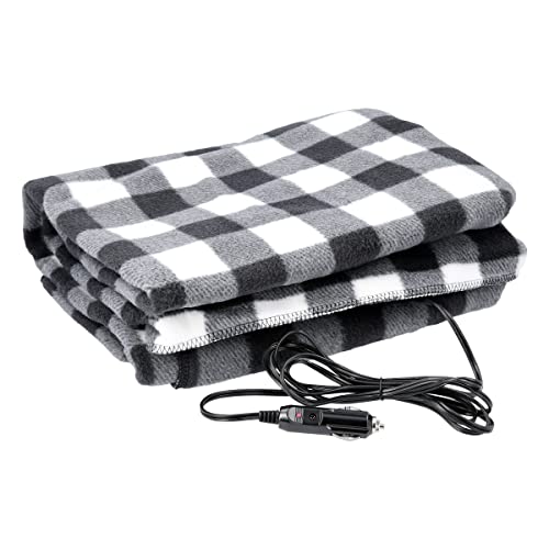
- Trunk safety kit: Do you have a blanket, booster cables, a scraper, a flashlight, and sand for traction?
FAQs
Can a winter storm stall and last longer than forecasted?
Yes. High-pressure systems can block a storm's path across the continent. When a low-pressure storm runs into an atmospheric block, it can spin over the same area for 24 to 48 hours longer than predicted. This turns an ordinary snow event into an extended blizzard or multi-day ice storm.
At what temperature does road salt stop melting ice?
Standard rock salt loses effectiveness once pavement temperatures drop below 20°F. Below 15°F, melting slows dramatically, and it stops working entirely around 5°F. In severe cold, highway crews must use calcium chloride or spread abrasive sand to give tires traction.
How do you know when a winter storm warning has officially ended?
A winter storm warning ends when the National Weather Service cancels it or lets the alert expire for your county. Check the agency's website, a weather radio, or local news. Even after warnings expire, secondary roads can stay dangerously icy until temperatures rise above freezing.


Best Warm Winter Scarves 2026 For Cozy Comfort

Best Green Ski Goggles 2026 For Clear Vision On Slopes
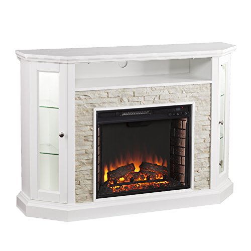
12 Best Corner Electric Fireplace 2026: My Ultimate Guide To Pick One

Best Battery Powered Snow Blower 2026 For Effortless Snow Clearing
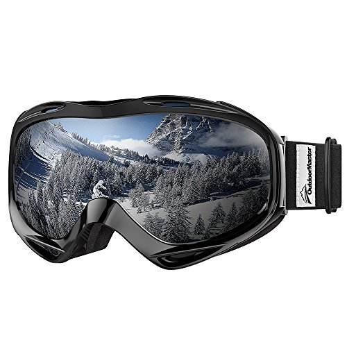
Best Ski Goggles Under 30 Inches For Crisp Vision And Comfort

Best Cooling Scarf 2026 For Instant Relief And Comfort

Fake Snow for Grass: Create a Realistic Winter Lawn Display
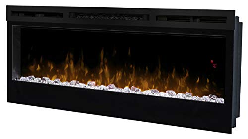
Dimplex Prism Wall Mount Fireplace: Sleek Heat With Modern Flame Style