What Is Winter Storm Fern and How to Stay Safe?

Check local radar maps right away to see how close the cold front is to home. Winter Storm Fern is a major regional weather system named by The Weather Channel to track a messy blend of heavy snow, sleet, and freezing rain. Broadcasters use this label to alert communities about travel hazards and freezing temperatures as the front sweeps across the country.
The exact danger outside depends on several local factors. Neighborhood ground temperatures determine whether the precipitation stays as snow or turns into heavy ice that snaps power lines. Distance from the freezing line dictates who gets wet slush and who gets buried in drifts, while storm speed controls how long bitter winds linger. Here is what to expect from the system and how to keep everyone warm and safe.
Understand Who Names the Storm and What the Fern Label Means
When you hear a weather anchor report on Winter Storm Fern, you might wonder if this is an official federal designation or a media creation. The Weather Channel introduced alphabetical naming for major winter weather systems in 2012, choosing names from A to Z each winter season. Because "Fern" begins with the letter F, this name indicates that the storm is the sixth winter weather system named by that network during the current winter cycle.
The National Weather Service, which is the official United States government meteorological agency, does not name winter storms. Federal forecasters avoid naming them because winter storms evolve, merge, and split across state borders in ways hurricanes do not. While a hurricane maintains a tight, organized center, a single winter storm can spread cold rain across the South while dumping heavy snow across northern states.
Media names help news channels organize multi-state coverage, but the label Fern does not tell you what will happen on your specific street. The actual severity at your house depends on your location relative to the freezing line, ground temperatures, and storm speed. A slow-moving storm can dump deep snow or continuous freezing drizzle over several days, while a fast system might blow through in an afternoon. Checking your regional forecast provides the exact details you need to protect your home.
Distinguish Between Snow, Sleet, and Freezing Rain Threats
Winter storm systems rarely deliver just one form of precipitation. As cold northern air collides with warmer moisture, the atmosphere divides into distinct temperature layers. These layers determine whether moisture falls as snow, sleet, or freezing rain.
Snow forms when the entire column of air from high clouds down to the ground remains at or below 32°F. Fluffy snow causes drifting and poor visibility, while heavy wet snow strains tree branches and backs. Although deep snow clogs roads, it remains the easiest winter precipitation to shovel and treat.
Sleet occurs when falling snow passes through a shallow warm layer aloft, melts into rain, and drops through a deep layer of sub-freezing air near the surface. The droplets refreeze into tiny hard ice pellets that bounce off surfaces like small plastic beads. Sleet makes a distinct clicking sound on windows and piles up like coarse sand. It makes driving hazardous, but it usually does not stick to power lines.
Freezing rain is rain that freezes into solid ice upon touching the cold ground, pavement, trees, and utility wires. It happens when falling snow melts completely in a warm layer and encounters only a thin layer of freezing air right at ground level. The liquid rain freezes instantly upon impact, creating a smooth sheet of clear ice. Even a quarter-inch of ice adds tremendous weight to branches and wires, causing widespread outages.
Along with precipitation, wind chill plays a major role during severe weather. Wind chill is how cold the air actually feels on bare skin when steady wind strips away body heat. A reading of 25°F combined with brisk winds can make exposed skin feel well below zero. If you must shovel or check property outdoors, review practical guidance on how to keep warm in winter outdoors with ease to prevent frostbite.
Check Official Local Warnings Instead of National Headlines
National media focus on broad regions, but staying safe requires local data. The National Weather Service issues standardized alerts based on the severity and timing of incoming winter weather. Monitoring these alerts lets you make sensible decisions about work, travel, and household safety.
Watch alerts signal preparation, while warnings call for immediate action. A Winter Storm Watch means severe winter conditions are possible within 24 to 72 hours. A Winter Storm Warning indicates heavy snow, sleet, or wind is imminent or occurring within 12 to 36 hours. An Ice Storm Warning means freezing rain is expected to cause significant ice buildup that will snap power lines and make travel dangerous. A Winter Weather Advisory means wintry precipitation will cause travel trouble, but conditions fall short of warning criteria.
Use this checklist to track local risks accurately:
- Go to weather.gov and enter your city or ZIP code for direct National Weather Service alerts.
- Review the hourly forecast to pinpoint when rain transitions into sleet, ice, or snow.
- Check your state Department of Transportation website for highway conditions and plowing updates.
- Sign up for local county emergency texts to receive updates on shelter locations and road closures.
Complete Your Home and Car Prep Before the Freezing Line Arrives
Once freezing rain coats highways or snow drifts across streets, running to the store becomes impossible. Finishing your preparations before the freezing line crosses your area keeps your household safe.
Follow these steps to prepare your home and vehicle:
- Prepare your vehicle for sub-freezing travel. Fill your fuel tank to prevent moisture from freezing in gas lines and to maintain emergency heat if you get stuck. Fill your washer reservoir with freeze-rated windshield fluid. Stash an emergency kit in your vehicle containing jumper cables, a flashlight with extra batteries, a thermal blanket, water, and sand or cat litter for tire traction.
- Seal draft points around exterior walls. Cold air pulls heat from living spaces rapidly. Apply stick-on foam weatherstripping along drafty window frames. Place an under-door draft stopper or a rolled bath towel against the bottom of exterior doors. If you have single-pane glass, consider installing a clear plastic window film kit. Reading practical steps on how to keep warm in winter in the house without waste will help you protect indoor temperatures.
- Stage backup lighting and communication devices. Charge phones, tablets, and portable power banks completely. If you have rechargeable electric hand warmers, charge them to use as pocket heaters or emergency phone chargers. Place battery-powered lanterns in central rooms. Avoid using open candles, which cause serious house fires during storm blackouts.
- Protect pets and livestock from sudden cold. Bring pets inside before precipitation starts. If outdoor animals or barn cats must stay in outbuildings, bed their shelters with dry straw rather than hay. Clean straw has hollow stalks that trap body heat and repel moisture, whereas hay absorbs moisture, molds quickly, and freezes into a solid cold block. Plug pet-safe heated water bowls into protected outdoor outlets, and never hang clamp-style heat lamps in barns because animals can knock them into bedding and cause a fire.
- Store non-perishable food and drinking water. Keep at least one gallon of drinking water per person per day for three days. Stock shelf-stable foods that need no cooking or refrigeration, such as canned goods, nuts, and crackers. Fill clean bathtubs with water before the storm to flush toilets manually if municipal water pumps fail.
Keep Your Home Warm and Pipes Safe During Sub-Freezing Outages
When freezing rain breaks tree limbs and knocks down power lines, your house can remain without electricity or heat for days. Managing your living space and plumbing prevents hypothermia and burst pipes.
Conserve warmth by setting up one central room. Pick an interior room with few windows, ideally on the sunny side of the home. Close doors to unused bedrooms, closets, and bathrooms to trap body heat where you spend time. Hang heavy blankets or a magnetic thermal door curtain over open doorways to block drafts from unheated areas.
Dress in layers rather than a single thick garment. Start with a sweat-wicking base layer or thermal long underwear to pull moisture from your skin. Add a fleece or wool middle layer to trap body heat, and top it with a wind-blocking outer shell or thick sweater. Avoid wearing cotton against your skin because cotton traps sweat and stays cold. Wear a knit hat indoors, and read up on how to keep feet warm during winter without discomfort so cold floors do not chill your feet.
Follow essential heating safety precautions. If you run portable space heaters from a home generator, maintain a minimum 3-foot clearance from curtains, bedding, and furniture. Plug space heaters directly into a wall outlet rather than an extension cord or power strip, which can overheat. Run fuel generators outdoors only, at least 20 feet away from windows, doors, and vents to prevent carbon monoxide poisoning. Never use a gas stove oven or charcoal grill for indoor heating.
Protect plumbing from freezing solid. Open kitchen and bathroom cabinet doors so warm air reaches supply pipes. Let faucets on exterior walls run with a small, steady trickle of cold water to prevent ice blockages. If a pipe freezes and water stops flowing, shut off your main water valve immediately to prevent flooding when the ice thaws.
Rewarm chilled skin slowly if anyone experiences numbness or painful tingling. Use lukewarm water, never hot water, electric heating pads, or vigorous friction, which can permanently damage chilled tissue. Wrap the rewarming areas in clean, dry blankets and monitor for signs of confusion, slurred speech, or uncontrollable shivering, which signal hypothermia and require immediate medical care.
FAQs
Is Winter Storm Fern an official government name?
No, Winter Storm Fern is not an official designation from the National Weather Service or the federal government. The Weather Channel creates alphabetical names to simplify media coverage. For official local warnings, rely on National Weather Service advisories and storm warnings.
How can I safely keep a baby warm during a winter storm outage?
Dress your infant in warm layers, such as a fleece sleep sack or wearable blanket, instead of loose crib blankets that create a suffocation hazard. If your heating works, maintain the nursery temperature between 68°F and 72°F. If you must drive during the storm, remove puffy snowsuits or thick winter coats before buckling your child into a car seat so the harness stays snug against the chest.
What should I do if a tree branch pulls down a power line?
Stay at least 35 feet away from the downed wire and anything it touches, such as fences or puddles. Always assume the line is energized and dangerous. Call your local electric utility provider and dial 911 immediately, and never attempt to clear branches yourself.
How can I tell if my water pipes are frozen?
Turn on your faucets; if only a light trickle or no water comes out, a pipe is likely frozen. You may also see frost on visible basement pipes or notice unusual odors from drains. Shut off your main water supply valve right away before attempting to thaw the pipes.
Related guides: what is the name of this winter storm and how long will winter storm last.


Top 12 best white electric fireplace 2026

Best Clear Ski Goggles Men 2026 For Sharp Vision On Slopes
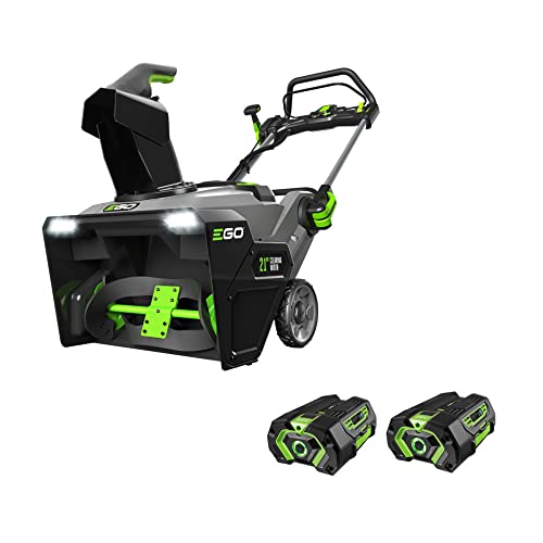
Top Best Cordless Electric Snowblower 2026 - (Latest)
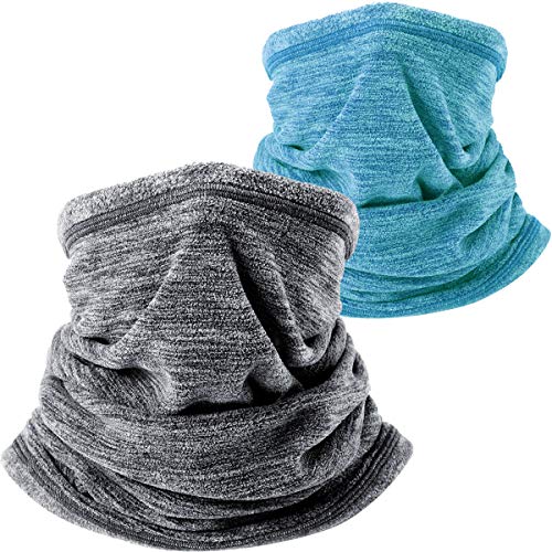
Best Warm Winter Scarves 2026 For Cozy Comfort

Best Green Ski Goggles 2026 For Clear Vision On Slopes
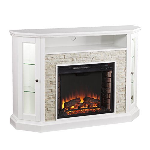
12 Best Corner Electric Fireplace 2026: My Ultimate Guide To Pick One

Best Battery Powered Snow Blower 2026 For Effortless Snow Clearing
Best Ski Goggles Under 30 Inches For Crisp Vision And Comfort